Real-time visual positioning and motion intelligence for low-altitude aerospace applications.
No GNSS. No IMU. No compass. No incoming telemetry. Sub-second inference on everyday edge hardware — even with degraded analog video.
On everyday edge hardware, in real time.
Classic LAVP below cloud line.
Reported maximum. Varies with altitude, signal and maneuvering.
Speed, direction and arrival, read from the track.
One engine. Several airborne applications.
01
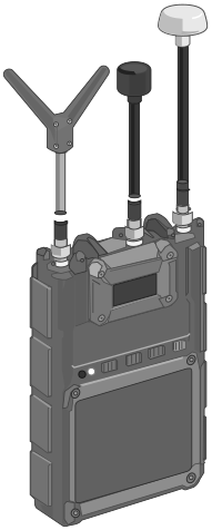
Passive Counter-UAS Awareness
Visual positioning and motion intelligence for detecting and geographically tracking low-altitude aerial activity. Operators see location, direction, altitude and movement without telemetry from the observed aircraft.
02
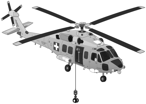
GNSS-Denied Aviation
Camera-only geographic positioning for civilian and defence aerospace platforms where satellite navigation is unavailable, degraded or spoofed.
03
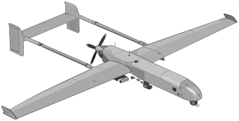
Autonomous Aerial Systems
Visual positioning and motion estimation for autonomous low-altitude flight, ready to sit beside existing navigation and mission-management systems.
Image in. Position on the map.
A monocular analog FPV frame is enough to estimate geographic position, altitude and orientation. Inference on supported edge hardware stays under a second.
Recorded map · 3 / 6 / 12 Hz
Map · illustrative preview
Position on the map
Built for the real world, not perfect imagery.
Belavista runs locally on the aircraft’s edge computer. The same engine has been tested when the picture is fogged, dim, or broken up by analog video.
- Fog, Rain, Snow
- Low light
- Radio Inference
- Position
- Latitude, longitude, altitude
- Attitude
- Heading, roll, pitch
- Track
- Speed, direction, ETA
- Hardware
- Consumer Qualcomm chips starting Q series; last 4 years of iPhones and Google Pixel family
Under a second on supported edge boards. Up to two seconds on an average smartphone. The published recording updates the map at 3, 6 or 12 Hz.
Ukrainian military ML,
Global hostile environment ops and audit
Born from necessity. Proven in the field.
Developed by Ukrainian machine learning and drone engineering specialists with first-hand experience in global hostile environments.
Engineered in Portugal and tested across Europe, including active combat zones.
Belavista was built to solve a real operational problem: delivering geographic awareness when GPS cannot be trusted and visual conditions are far from ideal.
Not imagined in a laboratory. Built for conditions where failure matters.
Slush 2026
See Belavista in action.
Partners and investors can see a private demonstration at Slush 2026.
On site at Slush. Ask for Belavista — Maira Labs.